An Extraordinary Day

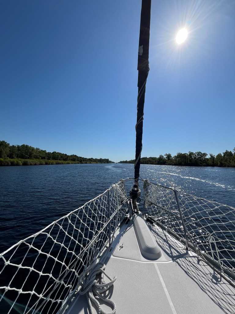
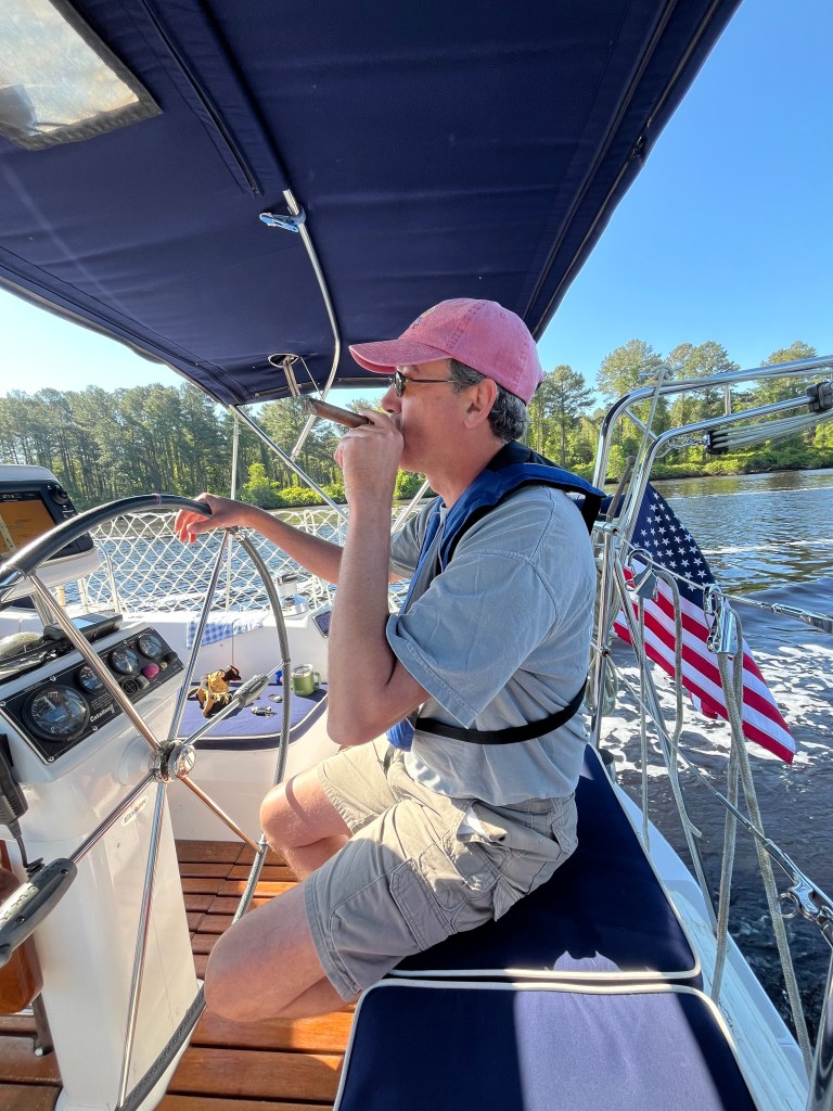
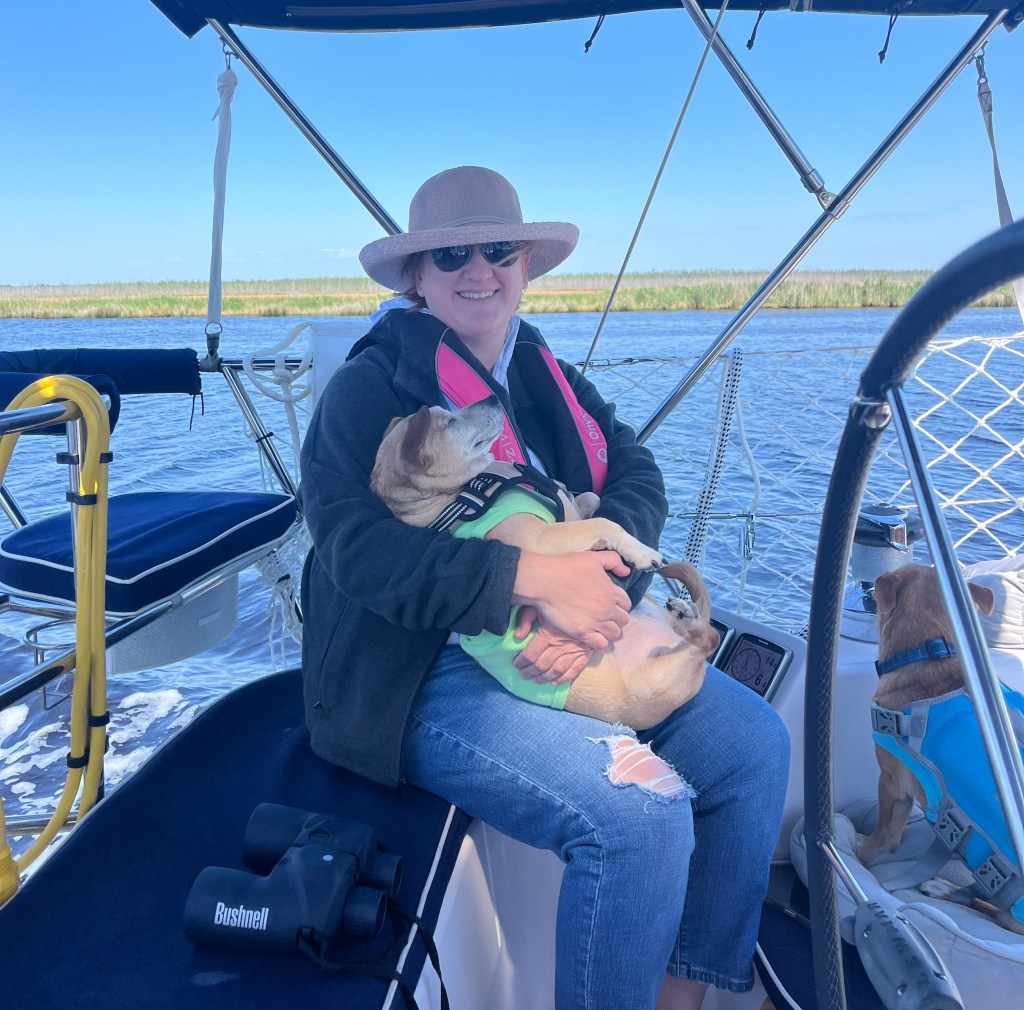
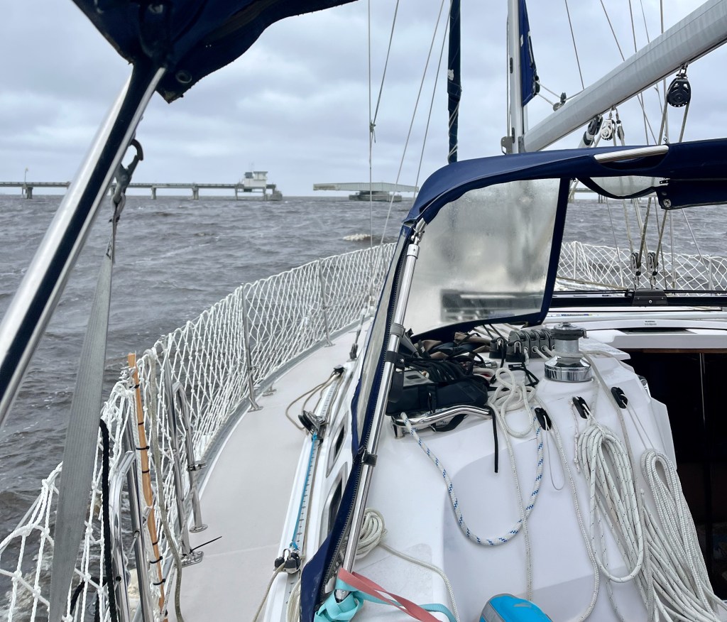
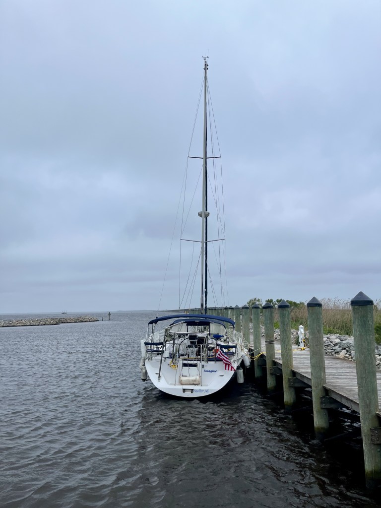
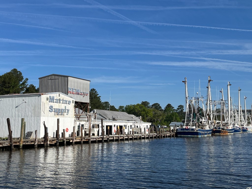
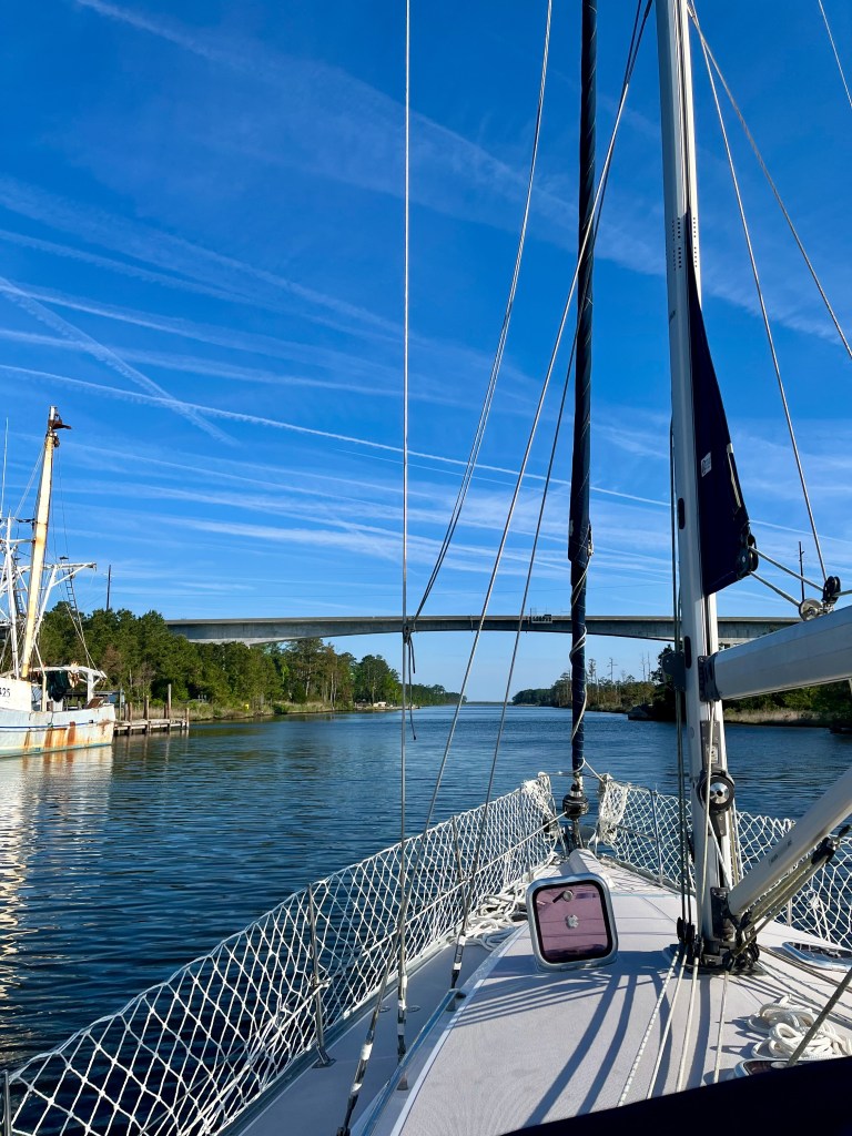
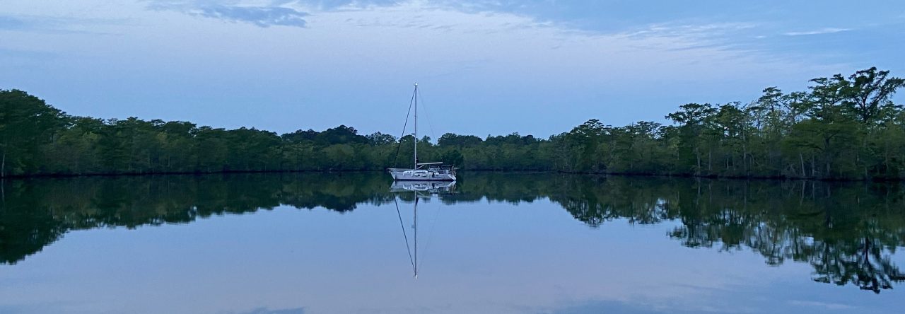
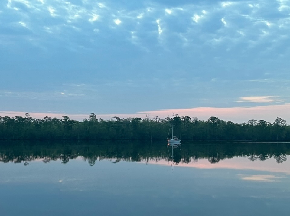
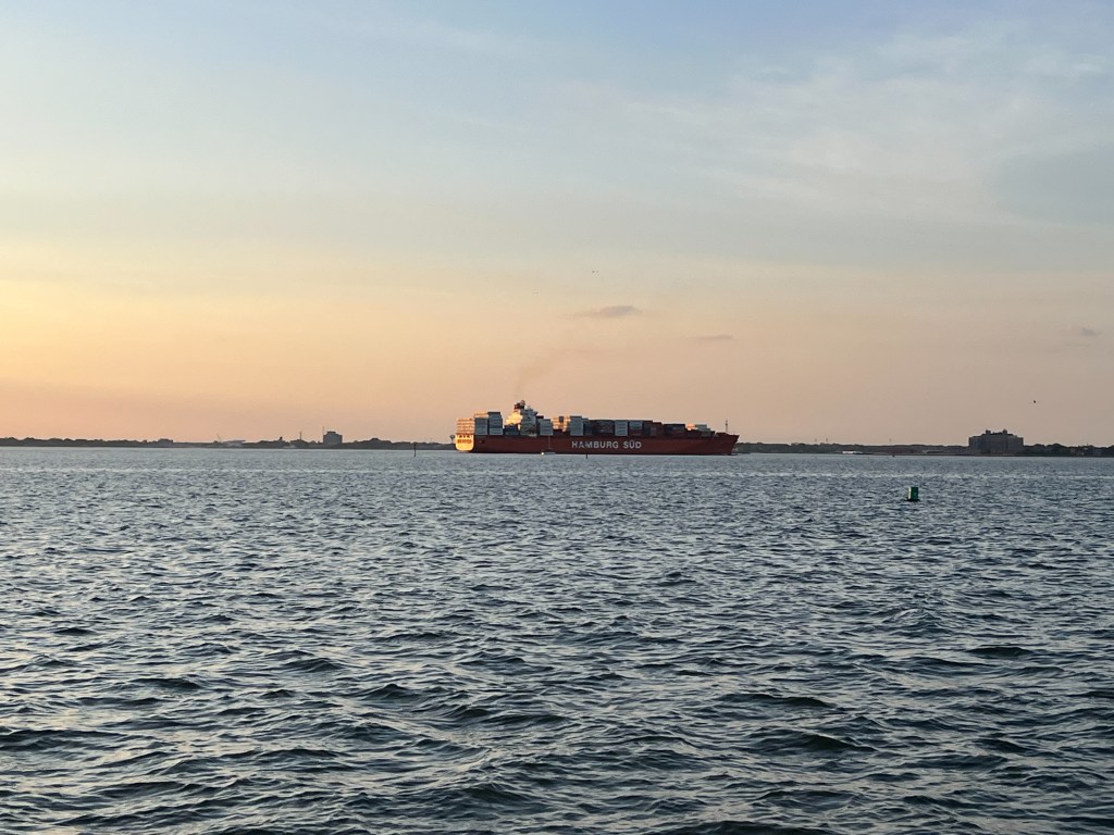
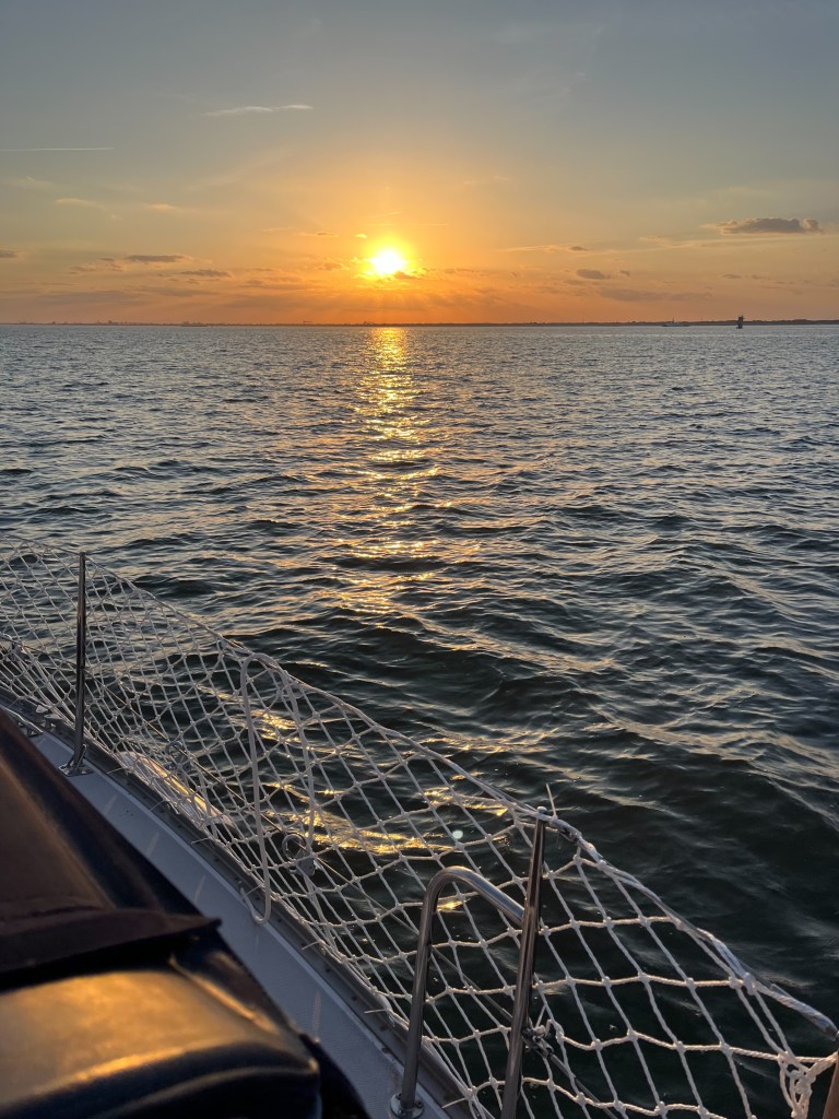
Hello all. Before I begin, here is a little eye candy for you. I took these shots from our gorgeous anchorage spot on Sunday.

Sunday evening at anchor on the Pasquotank River
Tuesday morning at anchor on the Pasquotank River

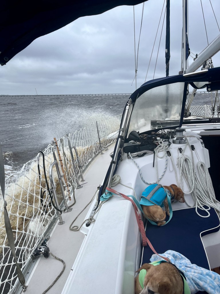
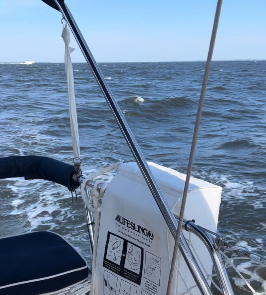
As I write this, it is 12:00 on Monday. I am actually typing this post from the cockpit as we motor north on the Chesapeake Bay! I don’t know who wrote today’s forecast, but this morning winds were definitely not out of the SW and DEFINITELY not 10-15 knots. Instead we saw 15 -20 knots out of the west (gusts in the 20’s) with 2-3 ft waves. Things have finally calmed down. Winds are currently 10 knots out of the west.

It has been extremely annoying to have to navigate through and around more crab pot lines. They seem to appear out of nowhere. They are the bane of a boater’s existence.

Yesterday morning when we awoke, Charro presented me with the wild hair he got in the middle of the night. He suggested that instead of anchoring for the night at the end of the Dismal Swamp Canal, that we keep on going all the way through Hampton Roads and anchor at Willoughby Bay in Norfolk. It would put us home one day sooner. So that’s exactly what we did. We departed our anchorage at 6:15 am yesterday morning and arrived at our stopping place at 5:15 pm. We ran an 11 hour day. We must be mad!

To say it was an incredible day would be a vast understatement. From the wild, unspoiled beauty of the Dismal Swamp Canal to the stretch of colossal warships at Norfolk Naval Station, we were certainly not unspoiled for choice of things to gawk at.

Heading up Turners Cut towards South Mills Lock

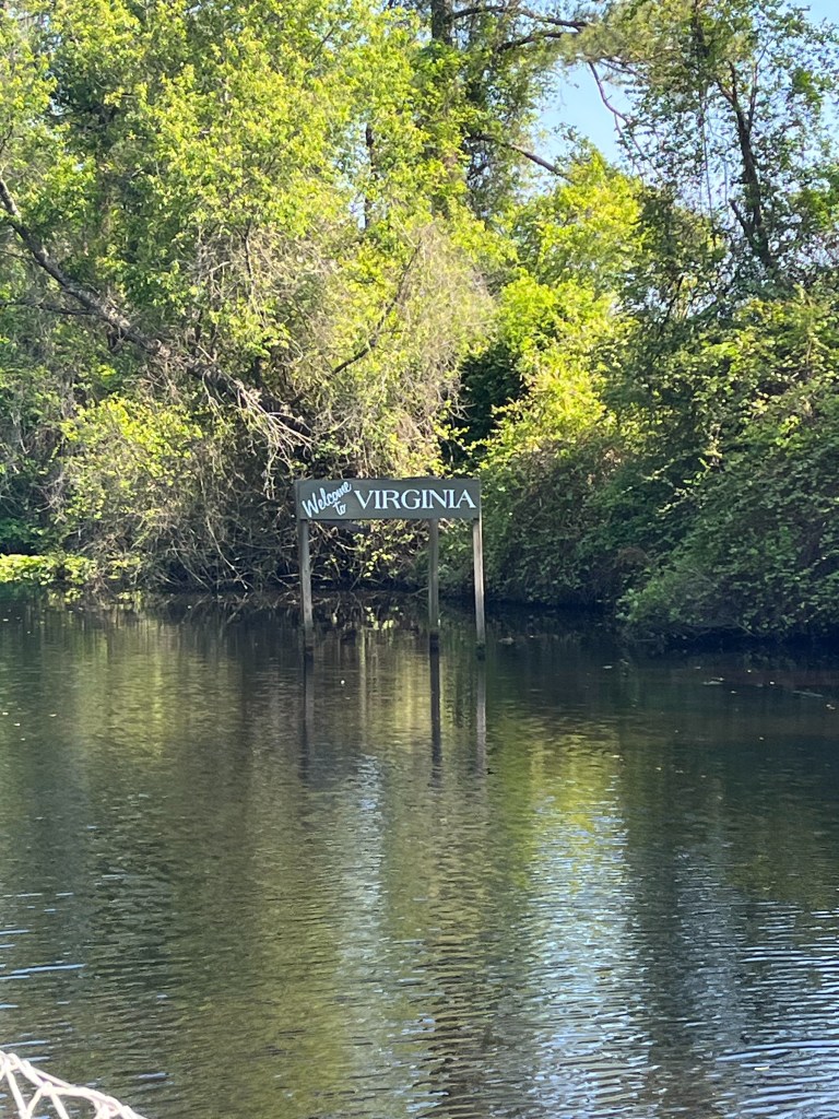
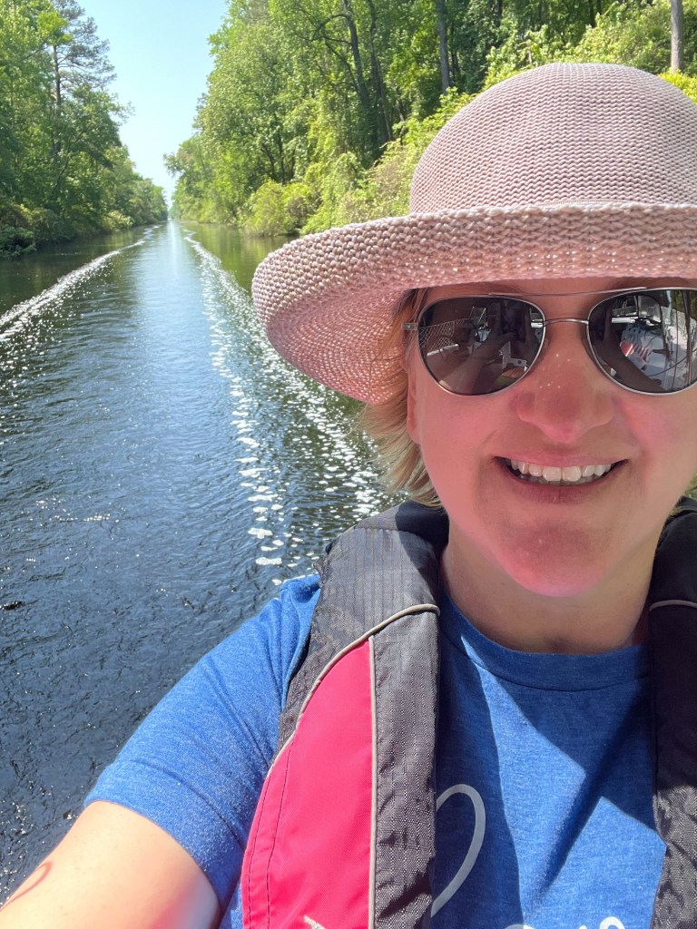
I don’t know why they call it the Dismal Swamp because it is not dismal at all! It is stunning. The four hour run from end to end was calm and smooth. The canal has a controlling depth of 6 ft., however we found the depths yesterday to be anywhere from 6-9 ft. There was no duckweed to contend with and no bugs at all – in fact, we haven’t had a single issue with bugs anywhere (well except for the flypocalypse we are experiencing on our boat today!). That was a huge relief.

From the entrance to the canal outside of South Mills Lock, and for a some time beyond Deep Creek Lock, we traveled in a caravan of four other boats. We met a very nice couple from Rhode Island and had some nice chitchat back and forth on the radio. We even exchanged photos we had taken of each other’s vessel.

The wild and unspoiled beauty of the Dismal Swamp Canal

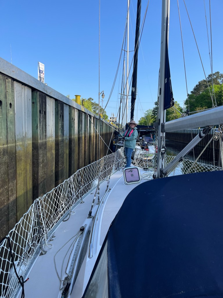
Locking was a brand new experience for us. We both had such nerves going in, but the lock tenders at both South Mills and Deep Creek were extremely kind and helpful. Both open on a schedule, so you have to be sure to time your arrivals. We were all a few minutes early to the 8:30 am opening, so we put the anchor down and held steady until we received the all-clear to proceed. One by one, each boat entered the lock. We were instructed ahead of time via radio that it would be a port side tie-up and that we needed to have a 25 foot minimum line on both bow and stern. As we sidled up to the wall, the lock tender grabbed the bow line I was holding and secured us to a piling above the wall. Then he secured the stern line in Charro’s hand.

Approaching South Mills Lock

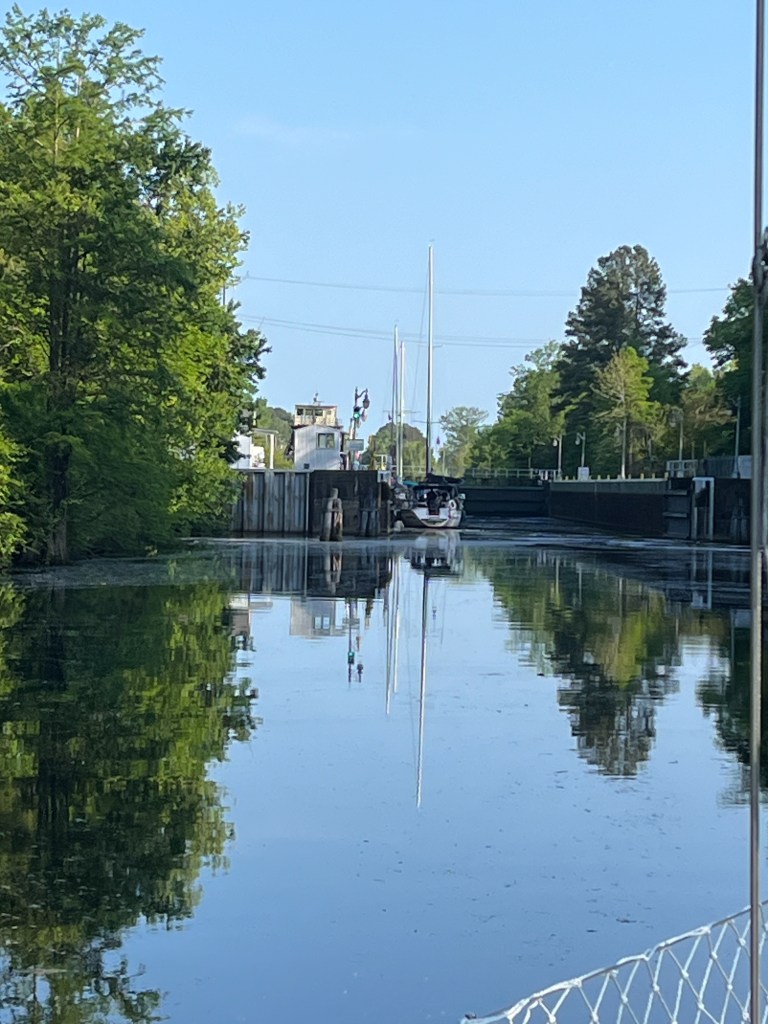
Both gates closed and water began filling the lock. We were slowly raised up by about 8 feet. Then the exit gate opened and we proceeded on our way.

Tending the bow line at South Mills Lock
US 17 Hwy Bridge
Getting closer!
A beautiful day on the Dismal Swamp Canal

We all made it to the end of the canal in time for the 1:30 opening of Deep Creek Lock. The bridge tender, who also serves double-duty as lock tender, raised Deep Creek Bridge. As soon as we all cleared it, he jumped into his car to drive to the lock 1/4 mile away. The water was then lowered 8 ft. and we proceeded on.

Deep Creek Bridge
Deep Creek Lock – our boat was second in line

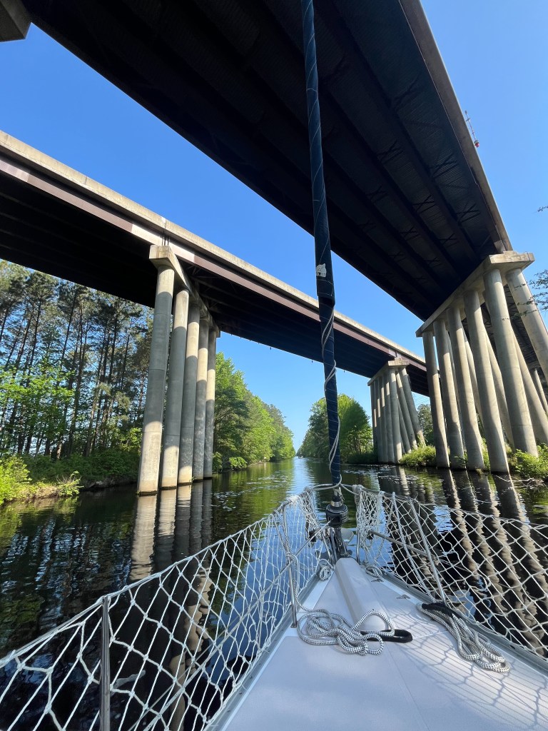
From there it was a short jaunt to the I-64 bridge.

Very industrial – so much to see!

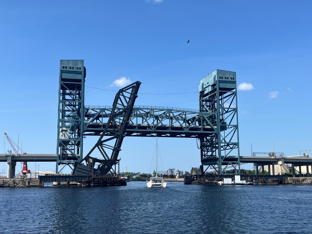
After the I-64 Bridge, we came to the Norfolk Southern #7 Railroad Bridge and the Gilmerton Bridge. The railroad bridge is normally open, however, a train was crossing and we had to wait. At that point, we were in the company of an enormous barge pushing a tug, two of our fellow canal travelers, a catamaran, and several rather rude speed boat drivers. We literally drove in circles waiting out the train delay. Finally, the bridge tender gave the all-clear and we proceeded through Gilmerton Bridge.

Massive barge pushing a tug
Norfolk Southern #7 Railroad Bridge and Gilmerton Bridge
More bridges
And more bridges

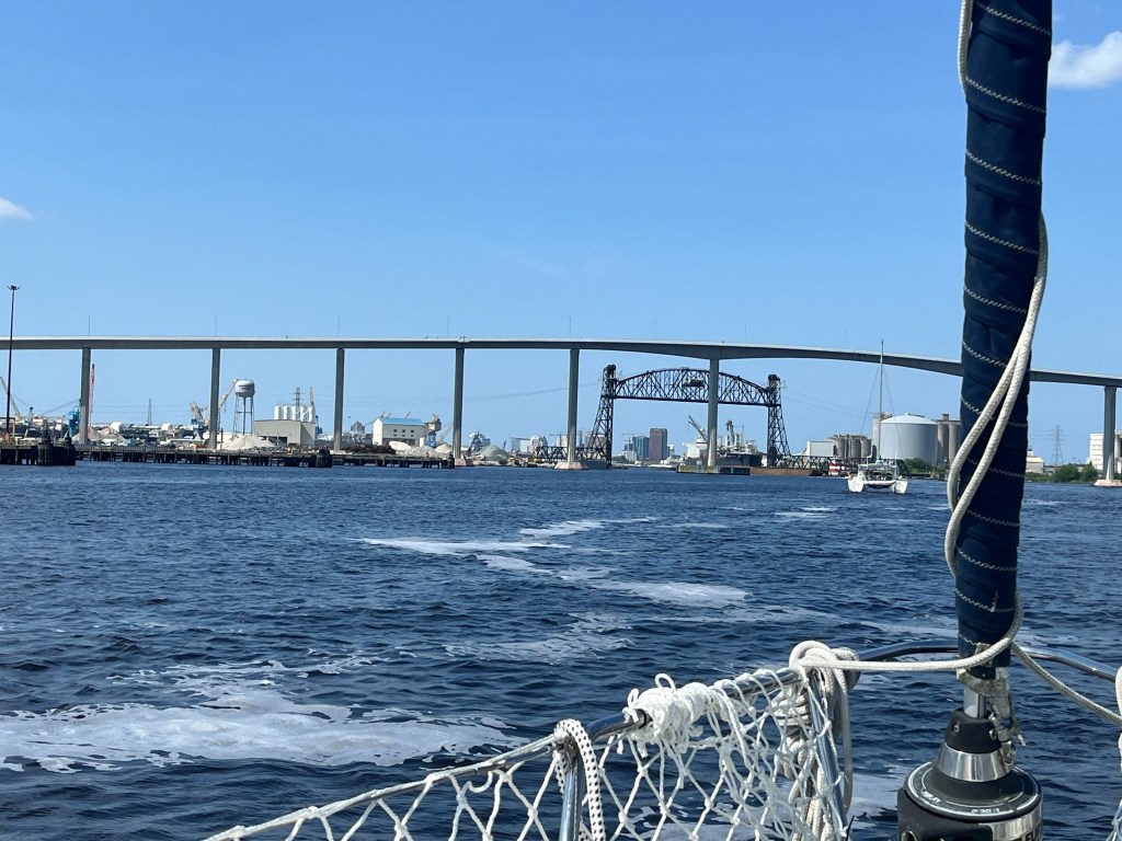
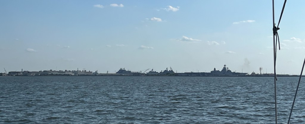
The 10 nautical mile stretch through Hampton Roads was a sight to see! I am thankful we traveled through on a Sunday when commercial and military traffic is minimal. I imagine it can get quite hairy on a weekday. The most impressive section was passing warship after warship after warship. You don’t realize how LARGE they are until you see them up close. Unfortunately, I do not have photos of them. Marine military police patrol and guard the area and it is said that they don’t care for it when people take photos. It’s a security thing. We didn’t want to do anything that might provoke them to stop us.

Norfolk, VA
Passing the Carnival Pride

After a day full of adventures, we finally made it to our anchor spot just outside of Willoughby Bay. The location lies next to a naval base, and according to others, the military routinely conducts helicopter maneuvers. Charro was so hopeful, but sadly since it was Sunday all was quiet.

Anchored near I-64 by Willoughby Bay

I did snap this photo of an aircraft carrier across the bay from where we were anchored.

Sunset at anchor near Willoughby Bay
The exhausted captain toasting a successful day

As I said before it was an extraordinary day. This whole trip has been extraordinary and one for the memory books.

At this moment, we are 6 miles from the Rappahannock River and just a few hours from home. If all continues to go well, we’ll be sleeping in our new slip at our marina tonight!

I will update again tomorrow.

Fair winds,

Wendy

Oh What a Day!

We wanted an adventure. I’d say we are having one!

We departed our lovely anchor spot at 8:30 this morning after a quiet, restful night. The plan was to just run the scenic four-hour Alligator River-Pungo River Canal and then (due to the Small Craft Advisory) anchor at the south end of the Alligator River. This plan is an amendment to my previous post.

We had consulted our charts and picked out a couple of depth-appropriate options to anchor at tonight. However, when we actually arrived at the chosen areas, it was nothing like we expected. All of the potential spots were wildly exposed to the raging northeast winds and appeared to offer no real protection at all. With nowhere sensible to anchor, we chose to (wisely? unwisely?) press on and make the river crossing. We have heard a lot about how rough the Alligator River can be, and today we found out how true that is.

In the beautiful and calm Alligator River-Pungo River Canal
How it started – a lovely day for a ride
Cuddling Ruby on the canal
Lauriston looking for alligators on the canal

Immediately upon entering the river, and no longer in the protection of the canal, the winds kicked up hard and it got quite cold. Waters became rough and choppy. We motored pretty much dead into the wind. For nearly four hours, WindLass surfed! Instead of the sideways rolling we experienced yesterday, today’s ride was more of an up and down, bucking broncho sort of experience. We got splashed a few times. But our girl held up beautifully. Charro is our helmsman on this trip and he and WindLass do a great job. My job on this journey is to serve as documentarian, help keep a watch, consult the charts, assist with lines, serve snacks, and soothe the pups.

How it ended – a wild ride!

As we got closer to the end of the Alligator River, we were still not feeling secure or confident that we would find safe harbor for the night. There really don’t seem to be many (if any) good, protected areas on the Alligator River. It kind of stinks!

I ended up calling the Alligator River Marina to find out if they would be able to accommodate us. Everything we have read says the draft going in is very shallow (barely what we can clear, which is 4’8″). We were a little desperate at that point, though, so we decided to go for it.

First, though, we had to pass through the Alligator River Bridge, which lies just outside of the marina. It is a swing bridge and is opened on demand (except in winds that exceed 34 knots). About a half mile out, we hailed the bridge tender on our VHF and requested an opening. I still can’t get over the fact that traffic had to stop just for US! 🙂

The Alligator River Bridge opening so we could pass

Just north of the bridge, the real fun began! Because the waves were so rough, Charro had to go a bit past the marina and then make a turn toward the southwest to make his approach. I guess it’s a bit like what a pilot must have to do when landing. That was the most intense moment, as we heeled a good way over a few times all while riding the waves. It was a bit scary, I must admit.

We arrived at the marina at about 4:30 pm. A very sweet fella named Ian was waiting for us on the docks as we motored in, and he guided us to where we should land our vessel. He helped to secure our lines, which was a tremendous comfort, as this was the first time we have ever docked in big winds. Thank God for Ian.

The Alligator River Marina is nothing if not delightful. It is a tiny, country marina that is also a gas station/convenience store and gift shop. Here we have shore power, access to water, wi-fi, and I was able to do a load of laundry. All of the staff are so sweet. They even have a short-order cook that made us the BEST fried chicken and fried okra! The dogs, too, were extremely relieved to get off of the boat and finally do some proper business. 😀

I am so thankful we are here. Even tied up securely against the dock, the wind is raging at a sustained 25 knots. But I will sleep well tonight knowing we are safe.

Docked safely for the night at Alligator River Marina (the name says Imagine but she’s now WindLass – we haven’t had the lettering changed yet); the Alligator River is in the distance

In hindsight, it probably would have been prudent to spend one more night at our calm anchor spot at the south end of the canal. But I guess then we wouldn’t have gained this experience or enhanced our skill set. You can go to sailing school, read books, and talk shop all day. But eventually the time comes when you have to put all of that learning into practice.

Friday’s Goal: (weather pending-will assess again in the a.m.) 30 nautical miles

We will depart from Alligator River Marina in the morning and finish the last few miles of the Alligator River. Then we will make the 11 mile crossing across the Albemarle Sound. We will spend tomorrow night either at anchor or at a marina in the Elizabeth City area (not exactly sure yet).

Fair winds,

Wendy

Today We Became Mariners

We have made it to our Waypoint #2 at the mouth of the Alligator River-Pungo River Canal. Today was an adventure! But first, an update on my previous post.

You’ll remember that yesterday we chose to anchor for the night in the Bay River. We hung out there for a few hours, but the wind came up even stronger and we were really rolling around. Our anchor seemed to be holding well, but for everyone’s comfort, we decided to motor over to Bonner Bay where it was so much calmer. The only stressful part was trying to find an adequate anchorage amidst the minefield of crab pots before the sun went low. Those things are a royal pain in the arse! I’m so glad we decided to relocate, even if it was a bit of work. We both slept well last night. I thought I would fret the whole time about dragging our anchor, but I was so tired I pretty much conked out.

The sunset and full moon over the water last night were utterly spectacular.

Sunset at Bonner Bay
Full moon, Bonner Bay

Laurie FINALLY went potty when he got up this morning. Thank God. He hadn’t gone in over 24 hrs. I was getting worried. He still hasn’t done a full complement (if you read me) and it’s already been a day and a half. Ugh.

This morning we got underway around 7:45. After leaving Bonner Bay and the Bay River, we entered Gale Greek and headed toward Hobuken, NC. It was quite chilly and very windy but it was a lovely morning.

Gale Creek
Passing RE Mayo Seafood

Just past RE Mayo Seafood and the Coast Guard station, we encountered our first bridge, Hobucken Bridge, which has a fixed clearance of 65 feet. Our boat’s mast hight, including the wind vane and electronics, is 56 feet. Even though my head knew we had enough clearance, my heart still plummeted into my stomach. Holy moly.

Hobucken Bridge

From Gale Creek, we crossed the Pamlico River to the Pungo River. Let’s just say that if either of us had a propensity toward sea sickness, we would have discovered that today! The sea was angry that day, my friends (Seinfeld joke if you don’t know, lol). At it’s worst in the Pamlico, the wind was blowing 15-25 knots with a lot of fetch (the distance traveled by wind or waves across open water; the longer the fetch the greater the waves). The seas were extremely confused around Wades Point, just like the guides instructed. WindLass was rolling! I wouldn’t be surprised if the waves weren’t four feet or more. Charro did a great job managing our wild ride. He found that if he went a little off of our course to keep the bow pointed into the waves that it slightly lessened the motion. I had to remind myself a couple of times that this is what our girl was built for. WindLass is an ocean boat and she can take it! I felt like today we became mariners for the first time.

A wild ride on the Pamlico River

We had one alarming situation (pun intended) around 11 am when a very loud alarm on the navigation panel sounded. Upon investigation of all the boat’s systems (engine, bilge, battery, etc.), Charro found nothing wrong. He turned the breaker off and back on again and it seemed to reset itself. It didn’t do it again, thank goodness.

And now, here we are. Safely and snuggly tucked in for the rest of the day and night, anchored in about 8 feet of water on the Pungo River, just outside of the ICW at the mouth of the Alligator River Canal. It is 77 degrees and partly cloudy and just as peaceful and serene as one could wish.

This is what dreams are made of.

Thursdays Goal: 37.9 nautical miles

We will depart from our anchorage and head into the Alligator River-Pungo River Canal. It is a 21 mile run and promises to be very scenic. Our guide says to look out for deer, bears, and maybe even alligators! After the canal, we will cross the Alligator River and anchor just north of the Alligator River Bridge.

6:22 pm Update: Due to a Small Craft Advisory tomorrow afternoon through evening on the Alligator River, we decided we will instead anchor at the south end rather than the north. Full disclosure: There was actually a Small Craft Advisory on the waters we traversed today (ssshhh, don’t tell my dad). For our ocean-worthy vessel, the difference (for us) between traveling during the advisory today vs. the one tomorrow has everything to do with a safe place to land at the end of the day. We have a perfect anchor spot tonight. Tomorrow, there is really nowhere to stay that wouldn’t be either too shallow or too rough as we approach the Albemarle Sound. It’s a compromise! 🙂

Fair winds,

Wendy

Day 1 Complete!

Our first day was a great success! We departed Northwest Creek Marina with no issues or fanfare just after 8:00 this morning and made it to our first stopping point on the Bay River (North Carolina) right around 2:30 pm. We are currently anchored here for the night, at a depth of 16 ft. We just finished what I feel were very well-deserved grilled cheeseburgers and are now settling in for an evening of relaxation and decompression. I sense a celebratory cigar in Charro’s future.

At anchor on the Bay River

The weather today could not have been more perfect. When we left Fairfield Harbor this morning it was 51 degrees and sunny, and now here on the Bay River this afternoon, it is sunny and 66. I spent the majority of the journey in jeans, a fleece jacket, and a hat. Charro (of course) was comfortable in shorts and a tee shirt.

Water conditions were very good the entire distance. I am still learning about wave action, but I would say there was just a light chop. We motored at a speed of about 6 knots the entire way, and we even put the sails up for an hour or so early on.

Once we got close to the Pamlico Sound, we fell in line with three other boats headed the same direction. The each kept on toward Hobucken, while we chose to anchor. There is currently one other vessel at anchor nearby.

Right now, winds are currently coming straight out of the south at 5-10 kt. The forecast for the nearby Pamlico Sound calls for S winds 10-15 kt tonight, becoming 15-20 kt with 25 kt gusts. We are in theory more protected here in the Bay River, however, so hopefully it won’t get too rolly. A little bit rolly is all right by me. Good for sleeping.

Overall the dogs did pretty well. Laurie is a complete nut job when he’s on the boat and gets extremely anxious. He requires a lot of close contact and reassurance. I really hope this voyage will help him develop his sea legs. Ruby slept for most of the trip and she even used her grass potty mat once! I’m sure we’ll face some resistance to using it this evening, as they are going to expect to be able to get off the boat. Here’s hoping they become more accepting of their current situation.

Wednesdays Goal: 28.2 nautical miles

Tomorrow morning we will depart from where we are currently anchored on the Bay River. We will travel north up Gale Creek, past Hobucken, NC to the Pamlico River and then into the mouth of the Pungo River. The plan is to anchor in the west entrance to the Alligator River Canal.

Here’s to an (hopefully) uneventful night!

Fair winds,

Wendy

T-Minus (less than) 24 Hrs.

The butterflies have truly set in. Until now, our upcoming journey has been all planning, preparation, and talk. But with less than 24 hrs. till departure, stuff’s getting real! We’ve made our lists and checked them twice. Now it’s time to find out if the voyage will be naughty or nice.

In case you are not familiar with the Intracoastal Waterway (or what in the world we are getting ready to do), the ICW is a “3,000-mile (4,800 km) inland waterway along the Atlantic and Gulf of Mexico coasts of the United States, running from Massachusetts southward along the Atlantic Seaboard and around the southern tip of Florida, then following the Gulf Coast to Brownsville, Texas. Some sections of the waterway consist of natural inlets, saltwater rivers, bays, and sounds, while others are artificial canals. It provides a navigable route along its length without many of the hazards of travel on the open sea.” (Wikipedia) In short, it’s a way for boaters to travel up and down the East Coast without having to risk their lives on the Atlantic Ocean. We are thankful for that!

Currently, our boat is docked at Northwest Creek Marina in Fairfield Harbor, NC (New Bern). Though we have thoroughly enjoyed the time we have spent here the last five months, it is now time to take our girl north to our home marina – Regent Point – in Topping, VA. Our total journey, marina to marina, is 235 nautical miles.

When traversing the ICW, there are two options. For reference, if traveling south, this “fork in the road” appears around the I64 bridge in the Hampton Roads area of Virginia. One of the routes is called the ‘Virginia Cut’. It is a deeper water route, so basically it’s faster and the one that all of the commercial traffic uses. Think of it like an interstate for boats. The other is called the ‘Dismal Swamp’ route. It’s akin to the Blue Ridge Parkway or Route 66. A lot quieter, slower, and very scenic. The downside is that you must have a very shallow draft (5 feet or less) and it will likely be buggier. Let’s just say that I have cornered the market on bug spray! If traveling south, the two routes converge again in the Albemarle Sound.

So, what does preparation for our 5+ day journey look like? Well, our boat’s water tank capacity is 100 gallons, which means that Charro and I will each be able to take our (FAST) morning and evening showers. We will also be able to flush the toilet with fresh water as opposed to seawater (when we flush using seawater, the boat’s holding tank fills up faster). We are planning to use all disposable plates and cutlery, as washing dishes is a water suck. We will cook all of our meals on the grill or in the oven by wrapping our food in aluminum foil. The goal is to not have to use any dishes, pots, or pans that require washing. We plan to eat well, though, even with the restrictions! Hamburgers, hot dogs, steak, pork chops, fajitas, loaded baked potatoes, fruits, and vegetables are all on the menu. I have also stocked us up with an ample supply of peanut M&M’s to boost morale!

Just in case, we are also carrying four extra jugs of water that in total, hold 21.2 gallons, plus 4 jugs of distilled water and 24-16 oz. bottles. I think we should be fine, even if we never stop at a marina to top up our tanks along the way.

Our boat holds 40 gallons of diesel, plus we are carrying an extra 10 gallons. Charro says we use around .6 gallons per hour, so it’s likely we won’t even have to top up with the reserve.

Right now the weather looks absolutely wonderful! We do have a generator, however. Just in case temps soar, we will be able to run the AC for a few hours at night as needed.

I think one of our greatest challenges is going to be getting Laurie and Ruby to potty on their grass mat. We have practiced at home, but for some reason, they stubbornly refuse to use it on the boat. It becomes a battle of wills, and I’m ashamed to say that sometimes they win and we just go to the yard. Once we are at anchor, though, they aren’t really going to have a choice! Heaven help us with that one.

Today is going to be a full day as we finish off our checklist. I need to make a last grocery store run for produce and dairy and I will need to wash laundry. Charro has to fill the two reserve diesel tanks and the boat needs a wash. Today is also pump-out day, so our holding tank will be nice and empty. And Monte the diver might be coming by to clean the boat’s hull (hope he doesn’t forget). Oh, and it’s my birthday!

Tuesday’s Goal: 35.9 nautical miles

The plan for tomorrow is to leave early in the morning (going to shoot for 6 or 7 am). We will depart from Northwest Creek Marina and travel the Neuse River to our Waypoint #1 where we will anchor in the mouth of the Bay River.

If I have cell phone signal, my plan is to write another update tomorrow evening.

Fair winds,

Wendy